 The high peaks of the Sierra which he has just crossed are now to his right and if you look at the image above, you will be able to make out the settlement of la Pinilla bottom right. La Pinilla is a ski resort!
  If you click on the banner above, it will link to the resort website where the live webcam will give you an idea of the conditions. As you can see above, at 13.00h on 9th February it was a beautiful sunny day with, according to the website, sufficient snow to have about half of the uplit facilities open. Below is a bit of video of skiing at La Pinilla. It reminds me of skiing in the Cairngorms - only there's more snow and better weather!
 Continuing on past the road to la Pinilla, Mark descended into the well wooded valley in which Riaza is located. The municipal authorities of Riaza have produced rather a nice web site with a clever 'fly in'. On the web site here are some good images which you can access by following Entrar, Fotos, Panoramicos 360.
It was interesting to listen to Mark's interview on radio Scotland this morning (You can access it here . Fast forward 20 minutes into the Sports Weekly programme). At one point Mark was talking about how cold it was in the morning - and that, despite the sunshine evident on the webcam at la Pinilla. Low temperatures are entirely consistent with a) the altitude and b) the high pressure which is set to dominate the weather of western Europe over the next few days. This will be really good news for Mark as he dashes for the tape.... The map above is the expected pressure situation for Sunday and there is little change predicted for the next few days. Winds are very light and from the south and the nearest frontal system......well, wouldn't you know it! As a consequence, skies in Spain will be clear, bringing lots of sunshine and temperatures picking up during the day but cold nights as any warmth is lost to the clear skies.
 North and east of Riaza Mark has cycled over very undulating terrain towards Soria and beyond. A whole series of river valleys, mainly tributaries of the Duero (Douro)cut into the plateau and between them land rises high enough to catch the frost of high pressure nights in winter and spring as in this image from Google maps.

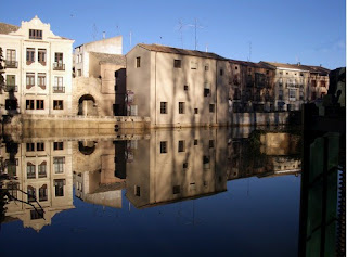
Below are a couple of images of the river Duero in this part of its course. Firstly at San Esteban where Mark crossed the river and where its importance for irrigation is evident...


No comments:
Post a Comment