 The bridge he crossed by was just a few kms north of this view but as it is in an area of low resolution Google Maps imagery, I've used a bit of geographic licence to get a better impression of the river.
It is important to get a sense of scale. The river and its silt banks measure about a mile across. In the monsoon season, from July through until September, which also coincides with the summer melt of snow and glacial ice at the Himalayan source of the river, the river will occupy the whole of its channel and may well spill out onto the floodplain. Whatever the season, it provides an invaluable source of water to support agriculture on the Ganges plain. Since one twelfth of the world's population lives within the Ganges basin, the importance of the river cannot be overemphasised. It is alarming, therefore, when you research the Ganges, to find that much of the new 'literature' on the Internet is speaking of threats to the river from global warming. It seems that the glaciers which are the source of the river are retreating rapidly at present. This is, of course, a story which is being repeated elsewhere in the world with similar implications for populations which depend on glacier fed rivers e.g. in the Andes but nowhere else are the numbers of people so great.
Most sources quote the Himalayan Gangotri glacier at Gaumukh, close to the Tibetan border, as the birthplace of the Ganges and a search on Google Earth produces some nice images...
 It is 1500 miles from here to the Ganges delta on the Bay of Bengal - nothing, of course, compared to the distances which Mark is covering!!


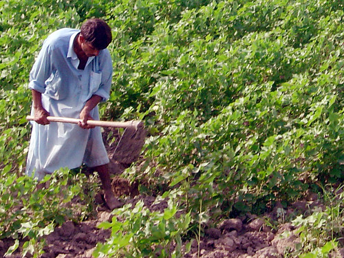
 With hardly any land uncultivated, farming is clearly very intensive. According to Wikipedia "despite recent industrial development, Haryana is primarily an agricultural state. About 70% of residents are engaged in agriculture. Wheat and rice are the major crops. Haryana is self-sufficient in food production and the second largest contributor to India's central pool of food grains. About 86% of the area is arable, and of that 96% is cultivated. About 75% of the area is irrigated."


 Once 'here', you can drag your mouse left or right on the image to pan.


 He is now only a short distance from the Indian border, shown by the solid white line on the map. If you follow the line north, however, you will see how the Indian border suddenly becomes less distinct as it enters the disputed territory of
  Mark reached
  If you have the latest version of Google Earth, you can zoom right in on the cricket ground and then click on the little blue icons to get photos.



 It was built during the British Raj from 1923 to 1932 as the Lloyd Barrage to help alleviate famines caused by lack of rain. The barrage enables water to flow through what was originally a 6166 mile long network of canals, feeding the largest irrigation system in the world, with more than 5 million acres (20,000 km²) of irrigated land. Huge canals leading north and south from the up-stream side of the barrage can be seen on the image above. Below a view of the barrage from downstream (not Mark's bike!)
 Mark crossed the Indus today a few miles upstream of the barrage and would probably have crossed via the roadbridge between Sukkur and Rohri (the one on the right below)
 A search on Flicker produced a good ground level view of the two bridges and some nice images of the river at this point.


 Mark is now well into the valley of the mighty river Indus which, although it flows through present day Pakistan, gave India its name. There is a very


 ...and even a slide show from

 On the excellent
  And this is Sibi - gateway to a whole new environment.......
 ...but that, as they say is a story for another day!


